Construction drone service
Orthomosaic site mapping
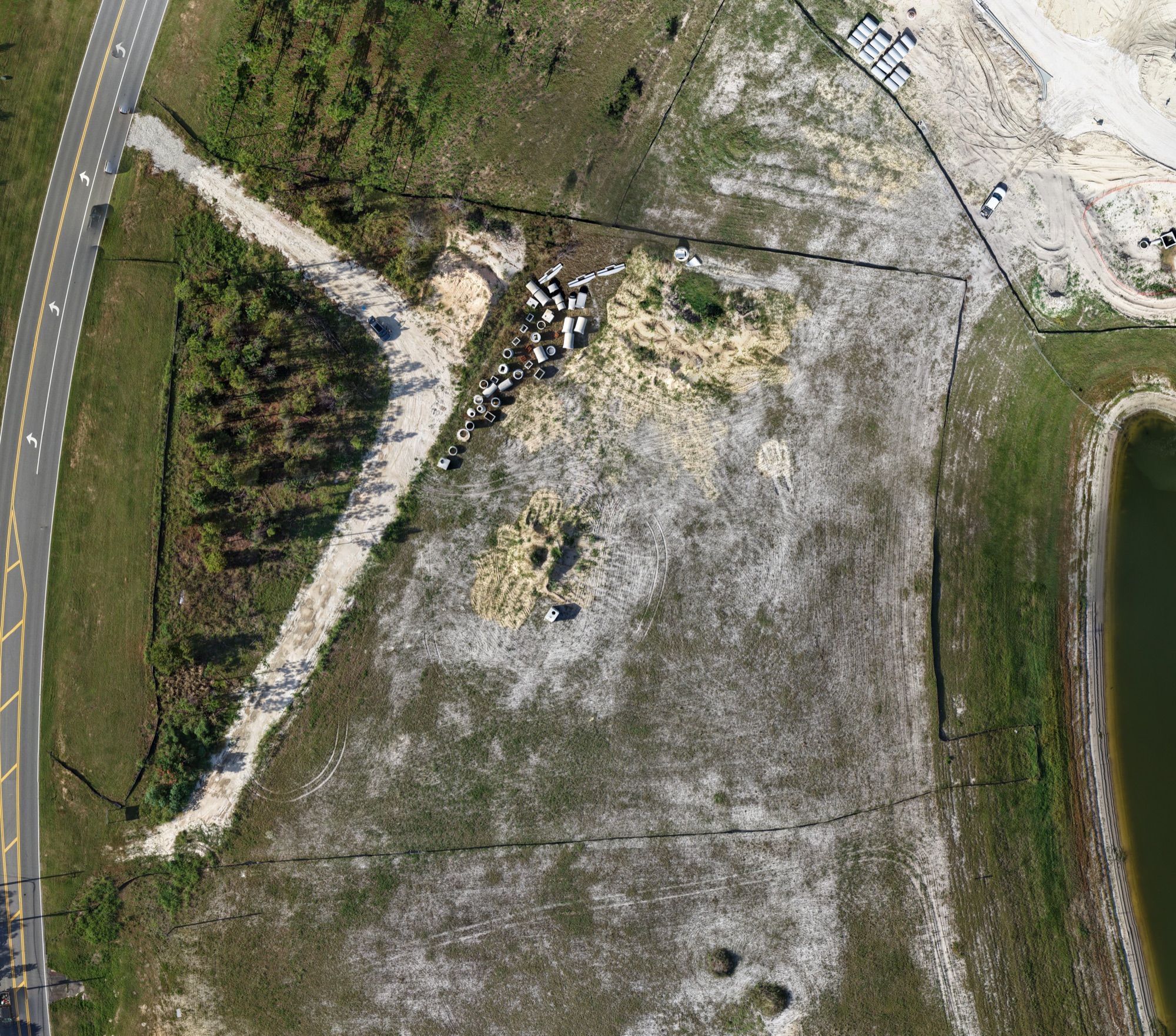
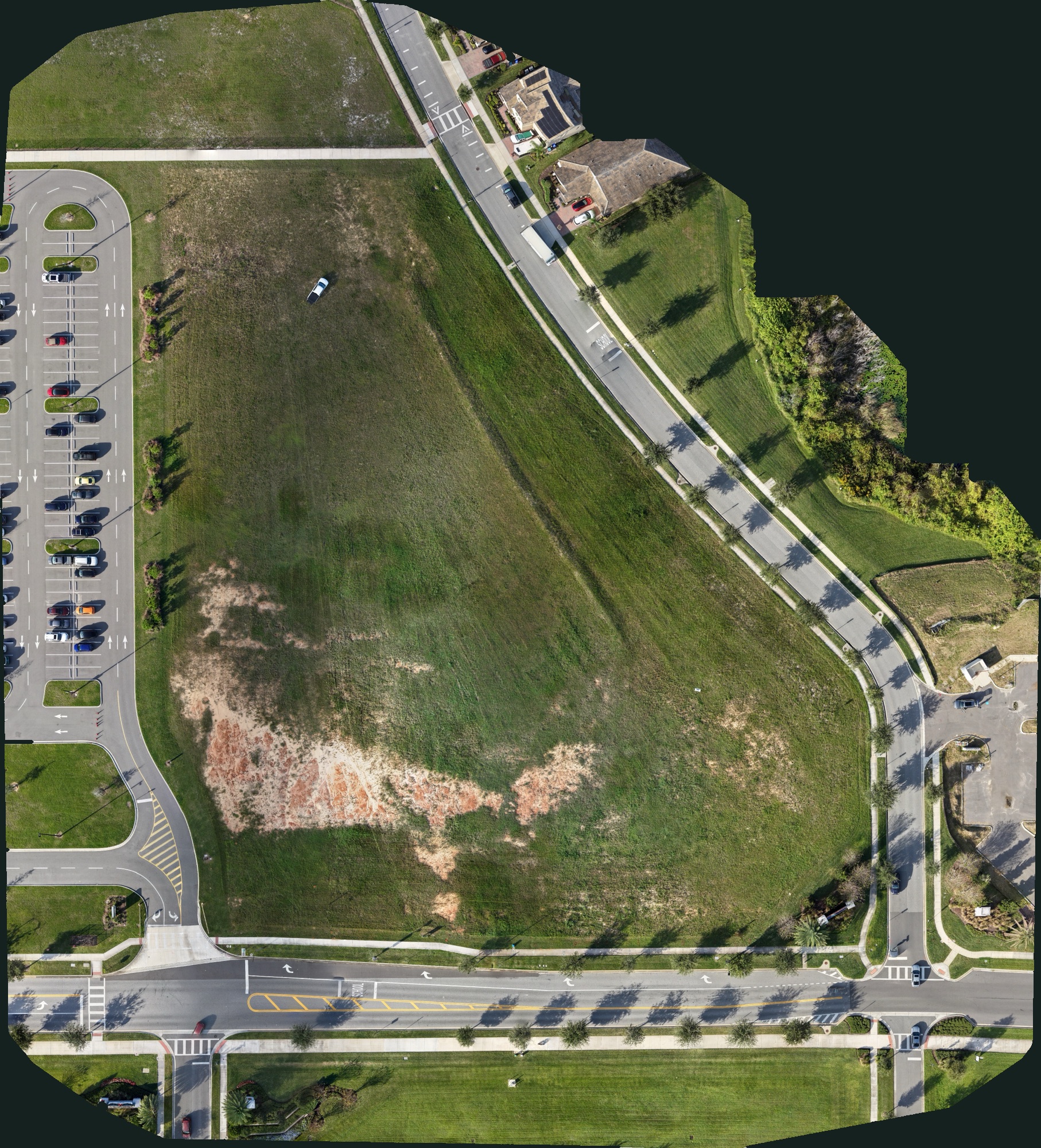
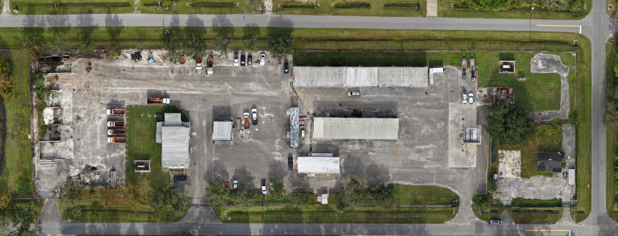
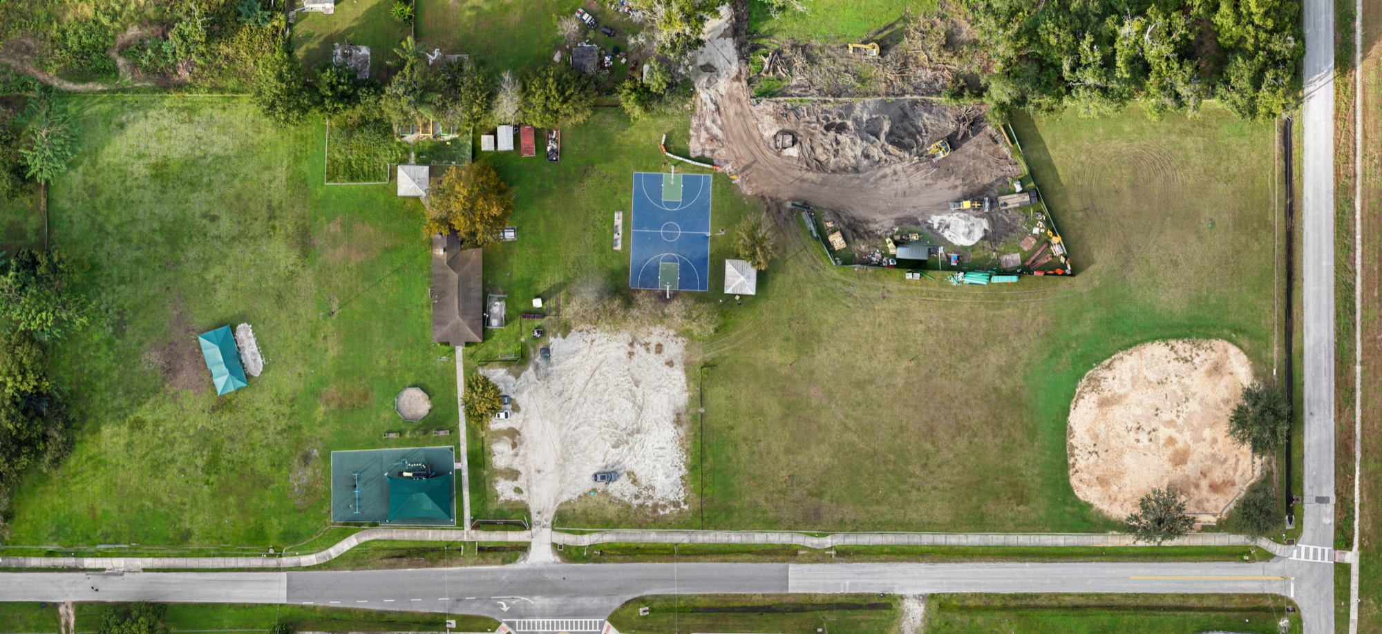
One detailed, straight-down image of your whole site, stitched from hundreds of drone photos.
What it is
An orthomosaic is a single overhead image of a site, built from many overlapping straight-down photos. The drone flies a back-and-forth grid over the property, and software stitches the photos together and corrects for lens and perspective distortion. The result reads like a map, with far more detail than satellite imagery and a date you know.
The map is georeferenced, which means it carries real-world coordinates. You can open it in Google Earth, or lay it under site plans in GIS and CAD software. One recent map of a fire station site was stitched from 266 photos.
What you receive
- High-resolution orthomosaic image (JPG)
- GeoTIFF for GIS and CAD software
- KMZ file that opens in Google Earth
- Site extent file (DXF)
- Processing quality report (PDF)
- Repeat maps for comparing one date with another
What a site map is used for
Seeing the whole site at once
Grading, staging, access and progress in a single image, with no perspective to work around.
Comparing against the plans
Lay the map under your site plan to see how work in the ground lines up with the drawings.
Before-and-after records
Map the site before work starts and again at milestones for a clear picture of what changed.
Planning and logistics
Work out laydown areas, haul routes and phasing on a current image of the real site.
How it works
- 01
Plan
We set the site boundary with you and plan a grid flight that covers it with the photo overlap a clean map needs.
- 02
Capture
The drone flies the grid and takes hundreds of straight-down photos, each one overlapping the next.
- 03
Deliver
We process the photos into one map and send it within 48 hours in the formats you need, with a quality report. Maps that need extra editing or data layers take longer.
Explore the maps
Pick a site, then zoom in
Questions
What is an orthomosaic map?
It is one large, straight-down image of a site made by stitching together many overlapping drone photos. Distortion from the lens and camera angle is corrected, so the image is uniform in scale and can be used like a map.
What file formats do you deliver?
A high-resolution JPG for viewing and printing, a GeoTIFF for GIS and CAD software, and a KMZ that opens in Google Earth. We also include a site extent file and a processing quality report.
Is an orthomosaic a replacement for a land survey?
No. It is a detailed visual map of site conditions on the day of the flight. It is not a substitute for a survey by a licensed land surveyor.
How much does site mapping cost?
Flights start at $350. Mapping is priced by the size of the site and how often you want it mapped. Request a quote and we reply within 24 hours.
See it on a job
Need this on your project?
Request a quote