Built to be seen

Drone progress documentation, video and site mapping for construction projects across Florida.

About 4M

We give contractors, developers and owners a clear aerial record of the job, from first grading to final closeout. Every flight is flown on site by an FAA Part 107 licensed pilot.

For contractors, developers and owners

Why fly the job

Construction drone services

What you get

Scope, frequency and deliverables are set per project, based on your site and schedule.

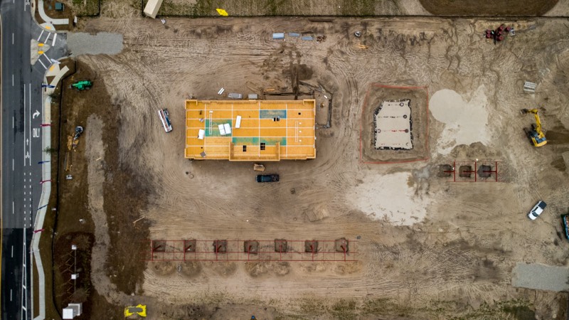
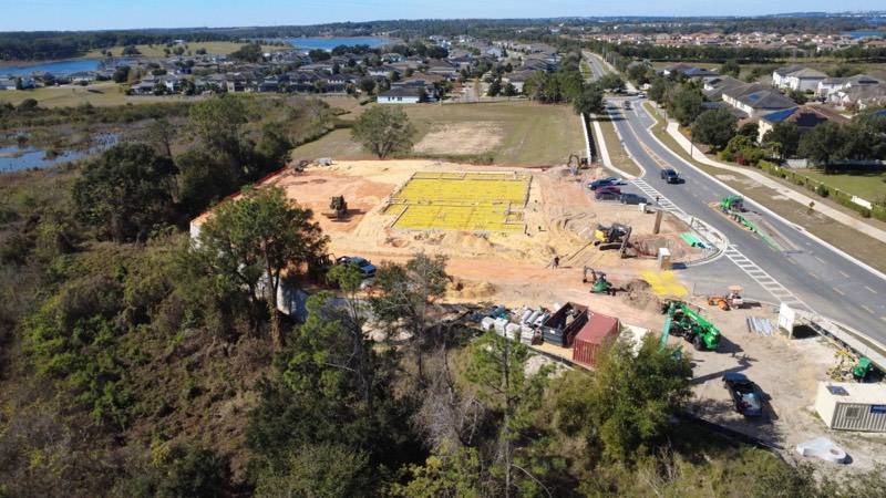
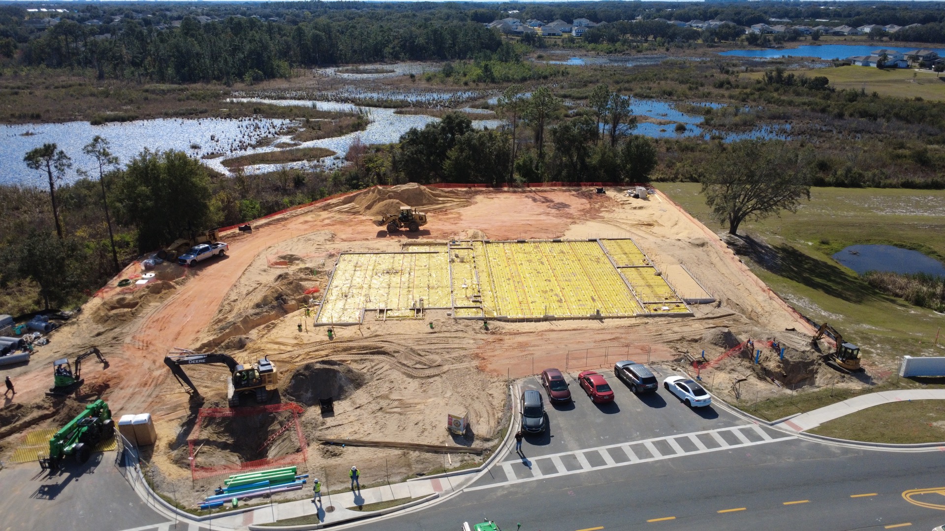
Aerial photo of the Fire Station 21 site with the slab formed and ready

Construction progress documentation

Photo and video on the schedule your project needs, whether that is weekly, monthly or at each milestone. Track progress, update stakeholders and keep a record of the whole build.

  • Full-site aerial views
  • Repeatable flight paths for consistent updates
  • Side-by-side progress comparisons
  • Milestone and lifecycle documentation
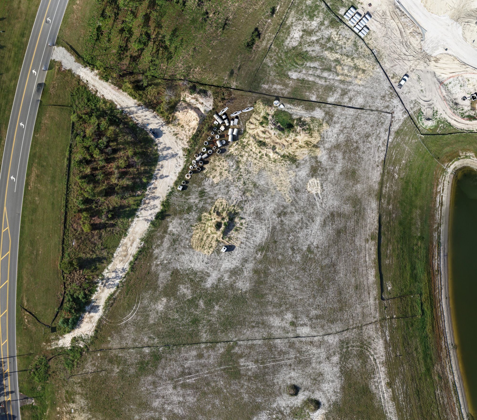
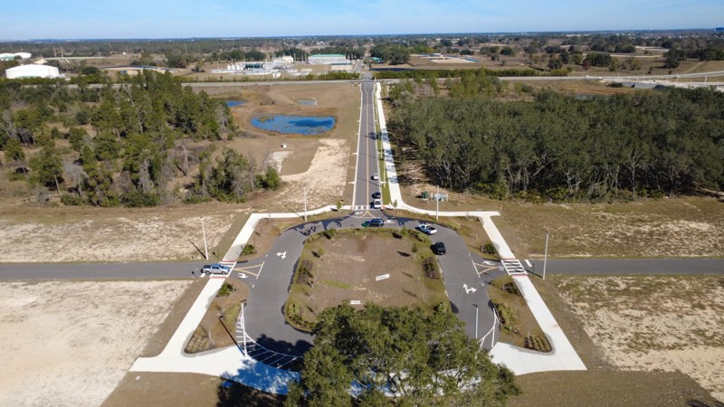
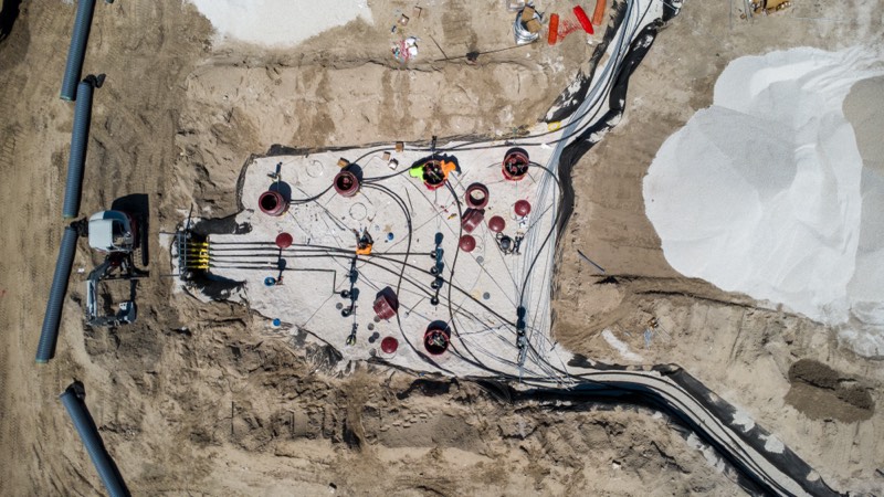
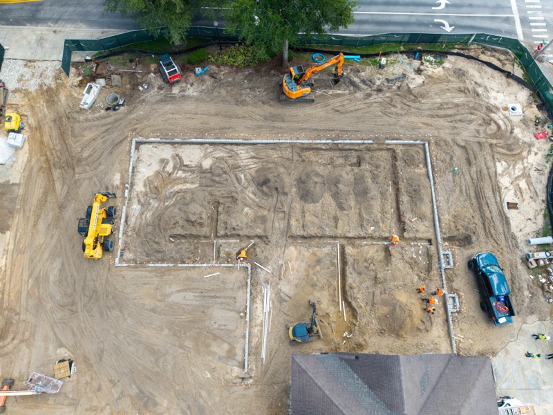
Orthomosaic map of the Fire Station 48 construction site, stitched from straight-down drone photos

2D orthomosaic site mapping

Many straight-down photos stitched into one detailed overhead image of the whole site, repeated as the job moves forward.

  • 2D orthomosaic site maps
  • Full-site overhead views
  • Development and site layout mapping
  • Before-and-after comparisons
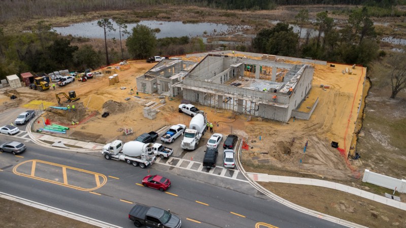
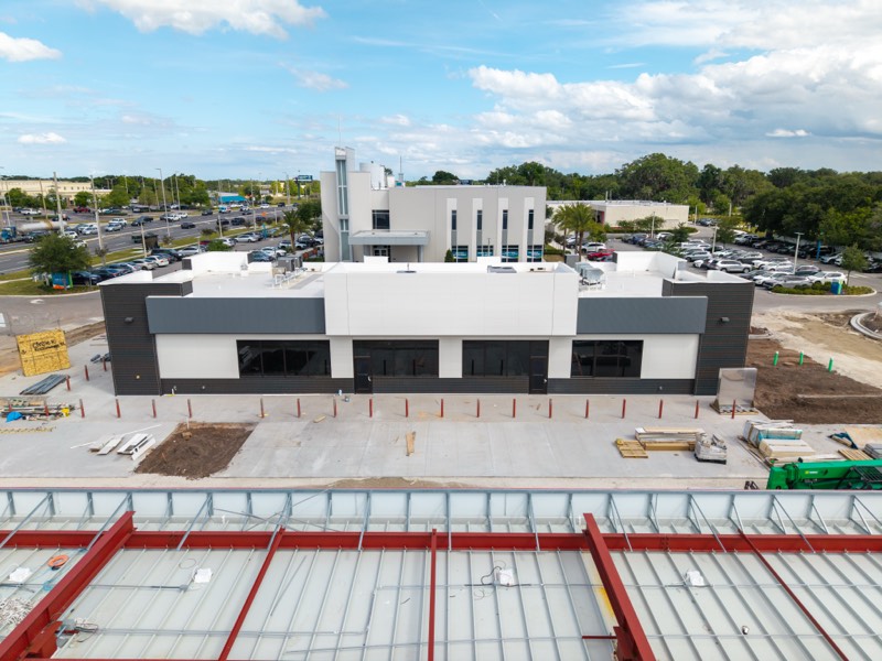
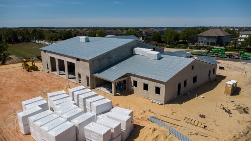
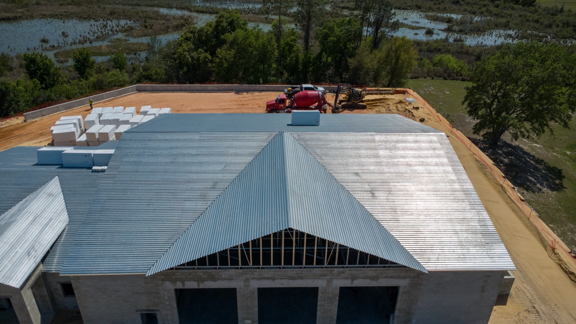
Close aerial view of the roof going on at Fire Station 21

Roof and structural inspections

A close aerial look at roofs, structures and exteriors, with photos you can keep on file as a condition record.

  • Roof inspections
  • Structural and exterior inspections
  • Site condition monitoring
  • Insurance and condition documentation
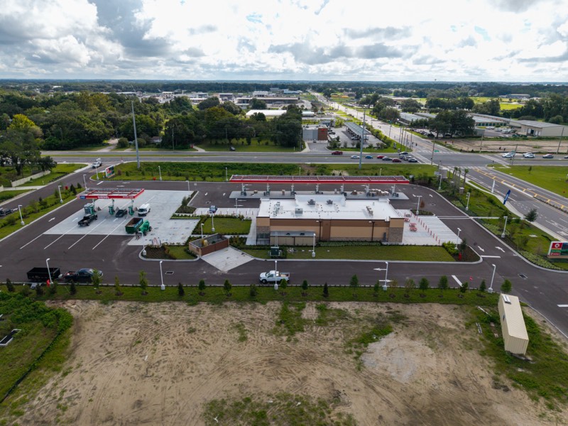
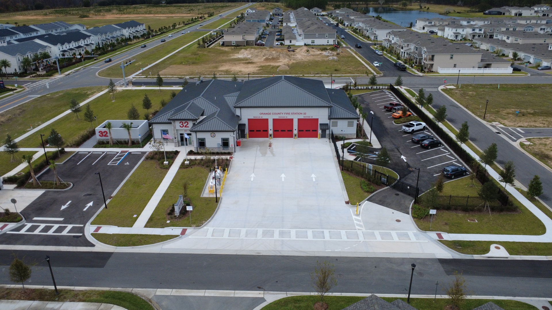
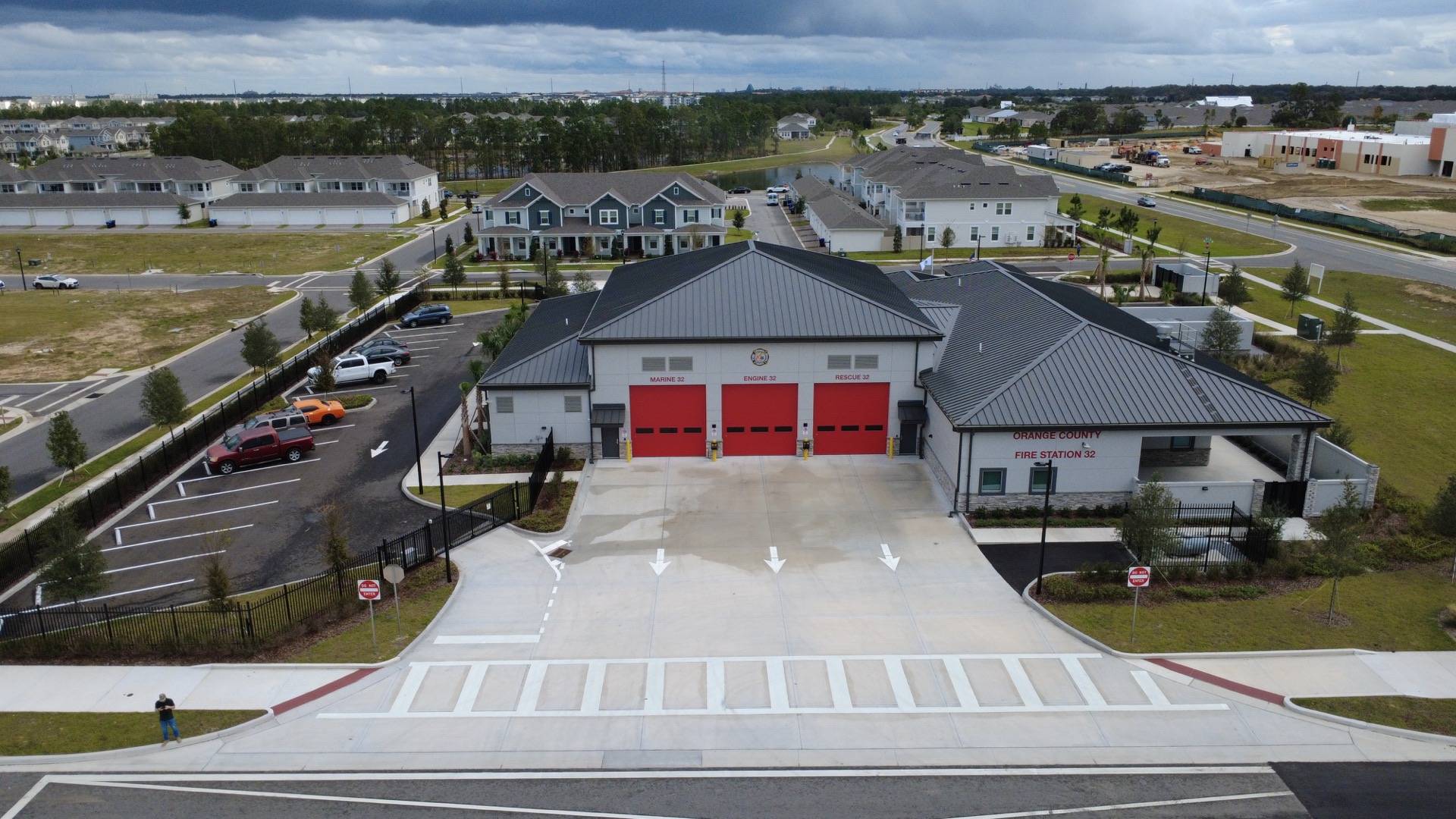
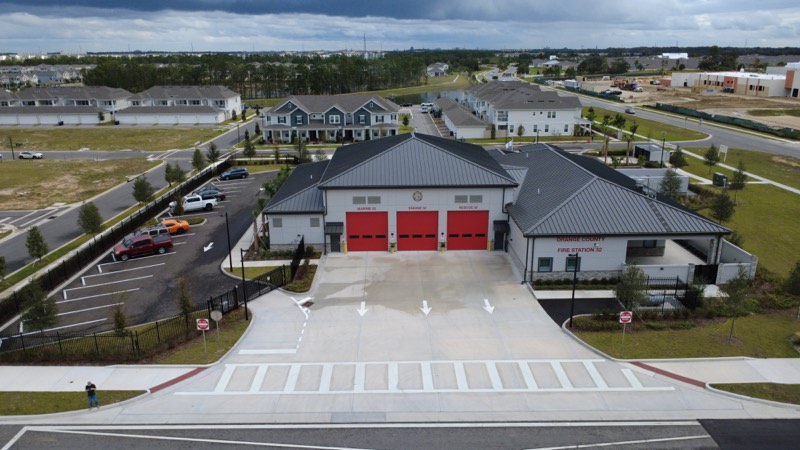
Aerial photo of the completed Fire Station 32 in Kissimmee, Florida

Closeout and marketing footage

Finished-project photography and video, delivered in formats sized for your website, social media and presentations.

  • Completed-project photography
  • Website hero video
  • Project launch and event coverage
  • Stakeholder-ready visual reports

Also flying

Golf courses, residential properties and HOA communities. Ask about your property

How a project runs

Plan, capture, deliver

  1. 01 / 03

    Plan

    We scope the site with you, check the airspace and coordinate with your team, so every flight is safe and compliant.

  2. 02 / 03

    Capture

    A licensed pilot flies on site. Repeat visits follow the same flight path, so each update lines up with the last.

  3. 03 / 03

    Deliver

    Photos and video come back professionally edited, in formats ready for internal reports, stakeholders or marketing.

Projects

On site

Winter Garden, FL · 38 acres · Completed

Horizon West Park Phase 1A

Closeout photo and video of a 38-acre regional park renovation, flown on completion for owner updates, handover and marketing.

View project

Kissimmee, FL · 11,730 SF · Completed

Fire Station 32

Closeout photo and video of a new municipal fire station, flown on completion.

View project

Kissimmee, FL · 9,415 SF · 5 visits

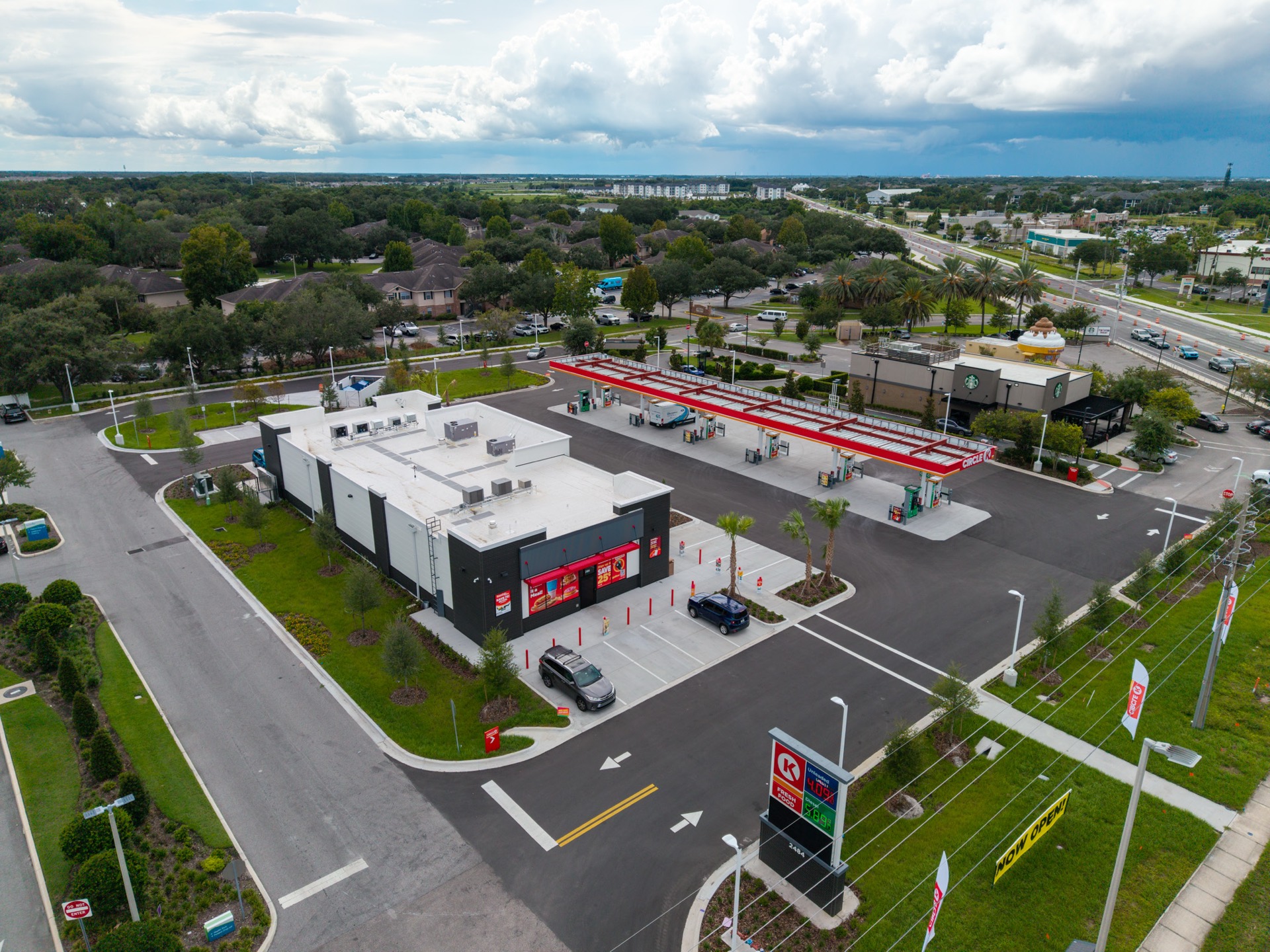
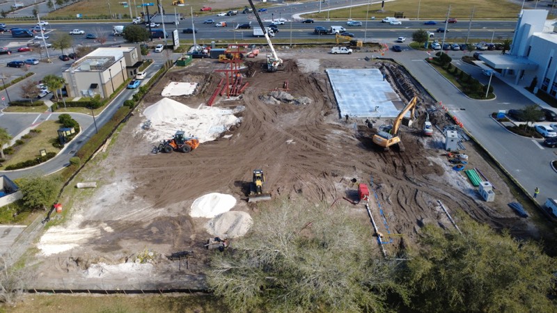
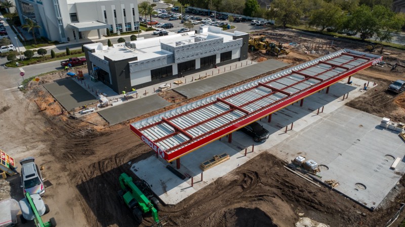
Circle K Kissimmee

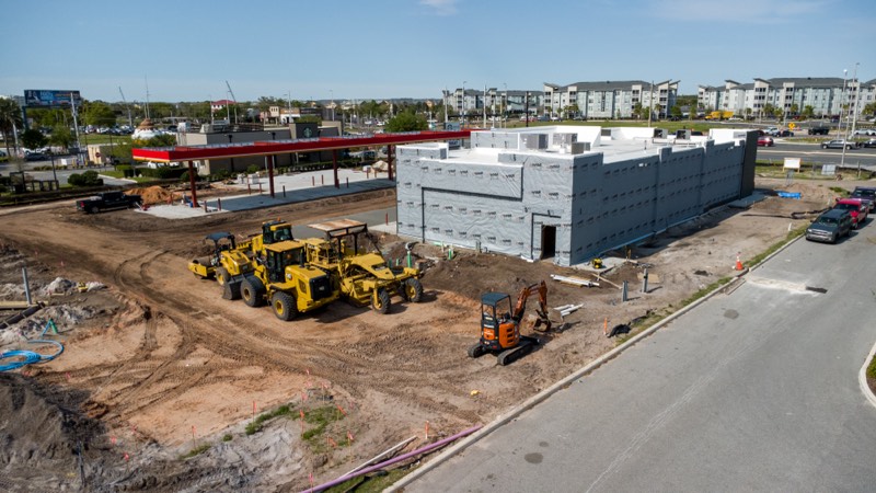
Photo and video at each milestone of a ground-up store and fuel station, from bare dirt to opening.

View project

Wildwood, FL · 11,970 SF · 5 visits

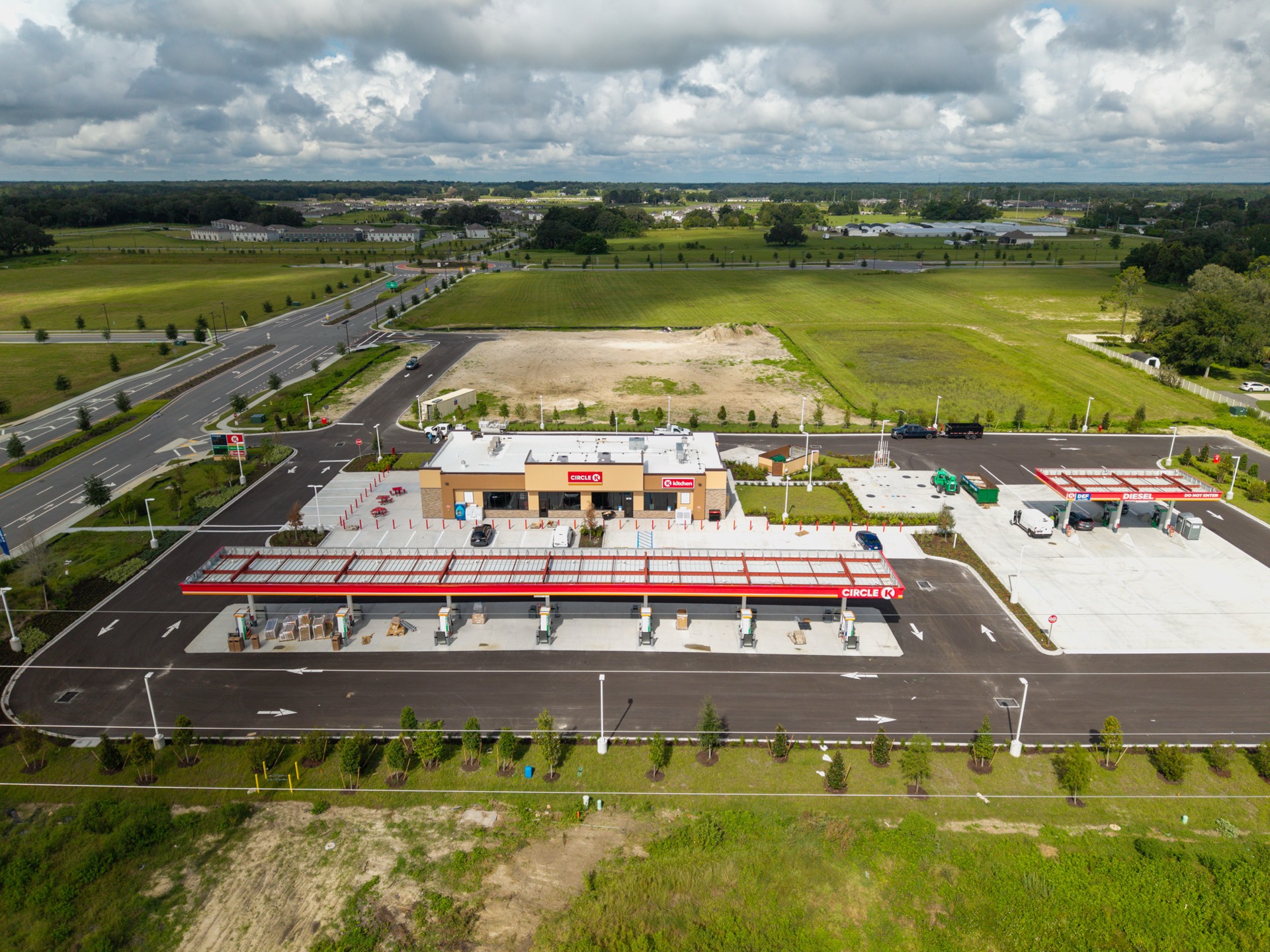
Circle K Wildwood

A visual baseline at the first visit, then milestone flights through to the finished store.

View project

Ocoee, FL · 9,774 SF · 5 monthly visits

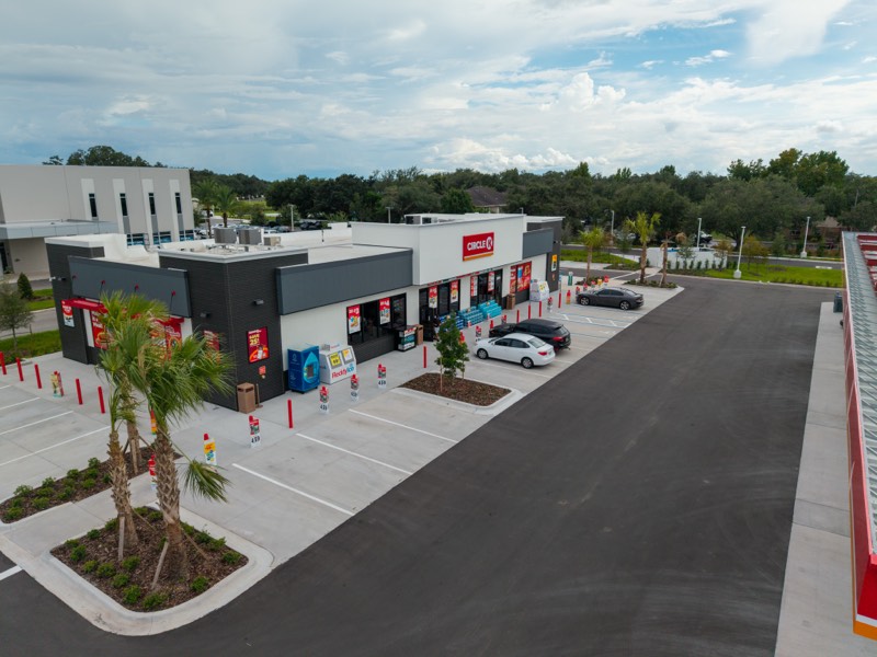
Fire Station 21

Monthly documentation of a new fire station, giving the project team a clear view of each stage.
View project

Clermont, FL · 10,160 SF · Renovation and expansion

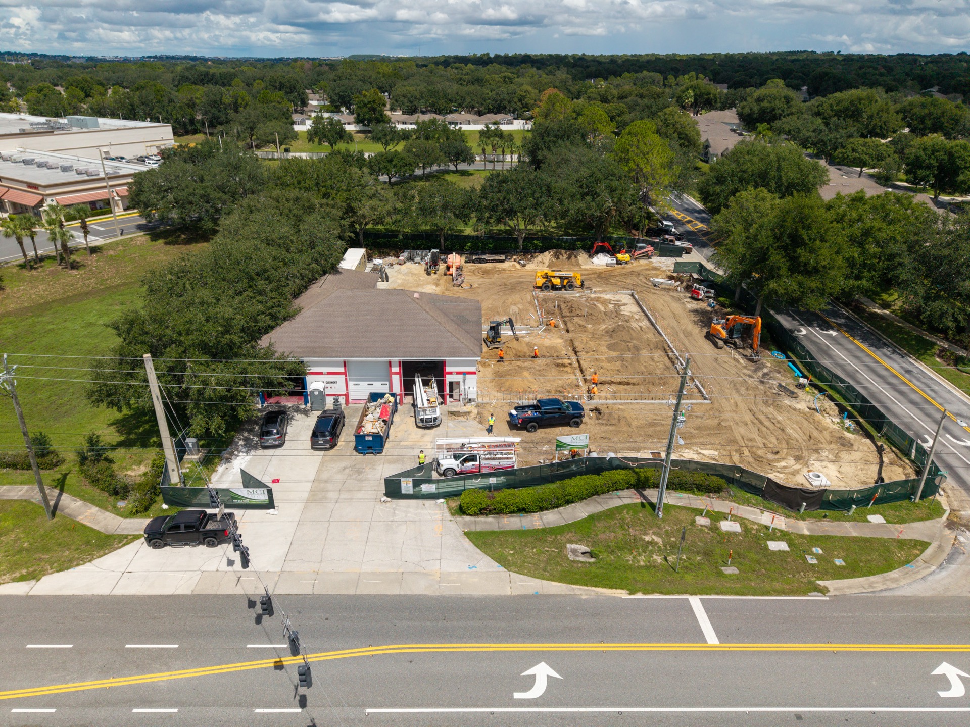
Fire Station 2

Site work and foundations going in beside an operating fire station.

View project

Preconstruction surveys

Zoomable site maps · November 2026

Winter Garden, FL · 11,866 SF

Fire Station 48

Orthomosaic map and photos of the land for a new fire station.

View map

Winter Garden, FL · 5 acres

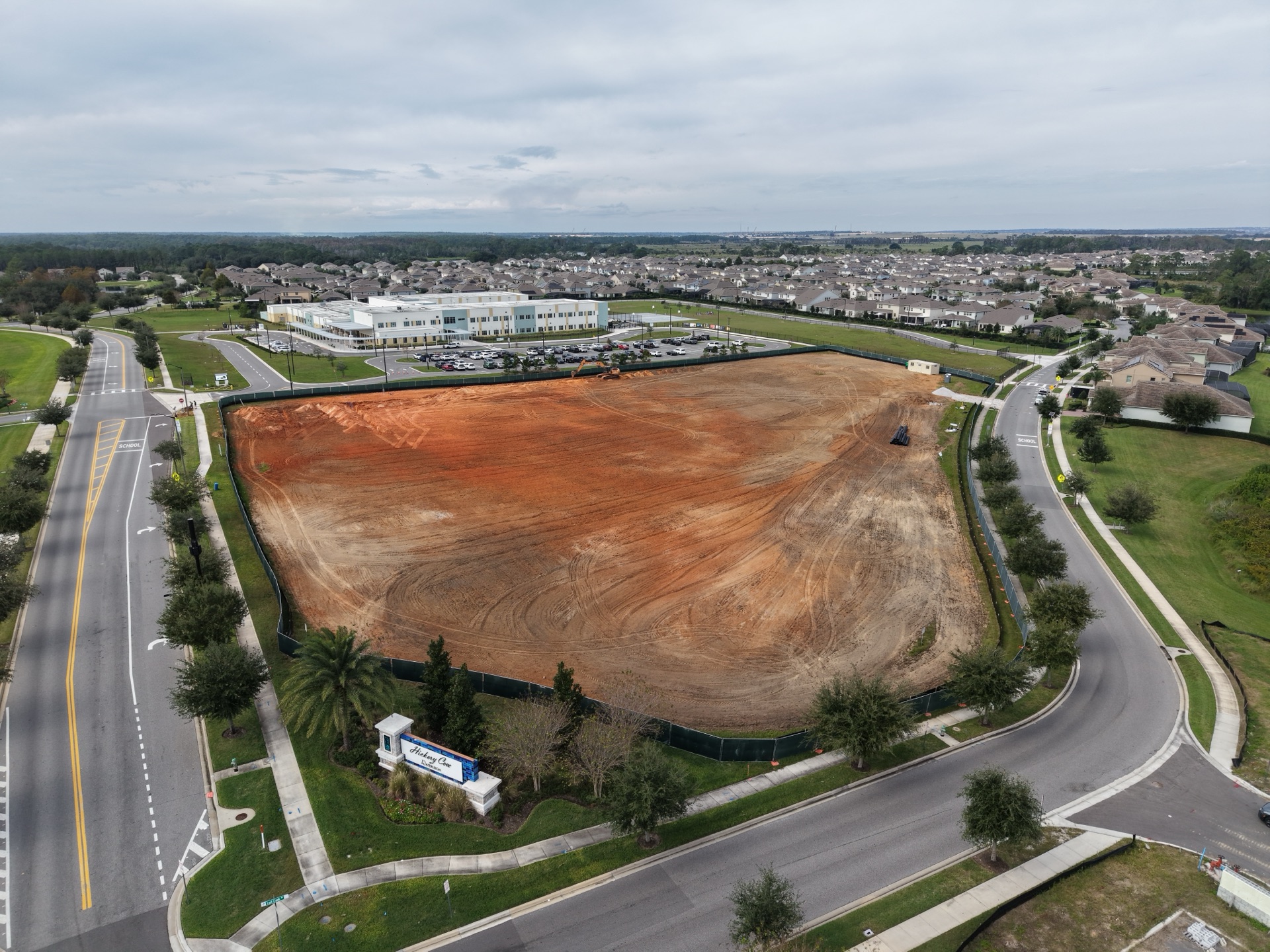
Waterleigh Park

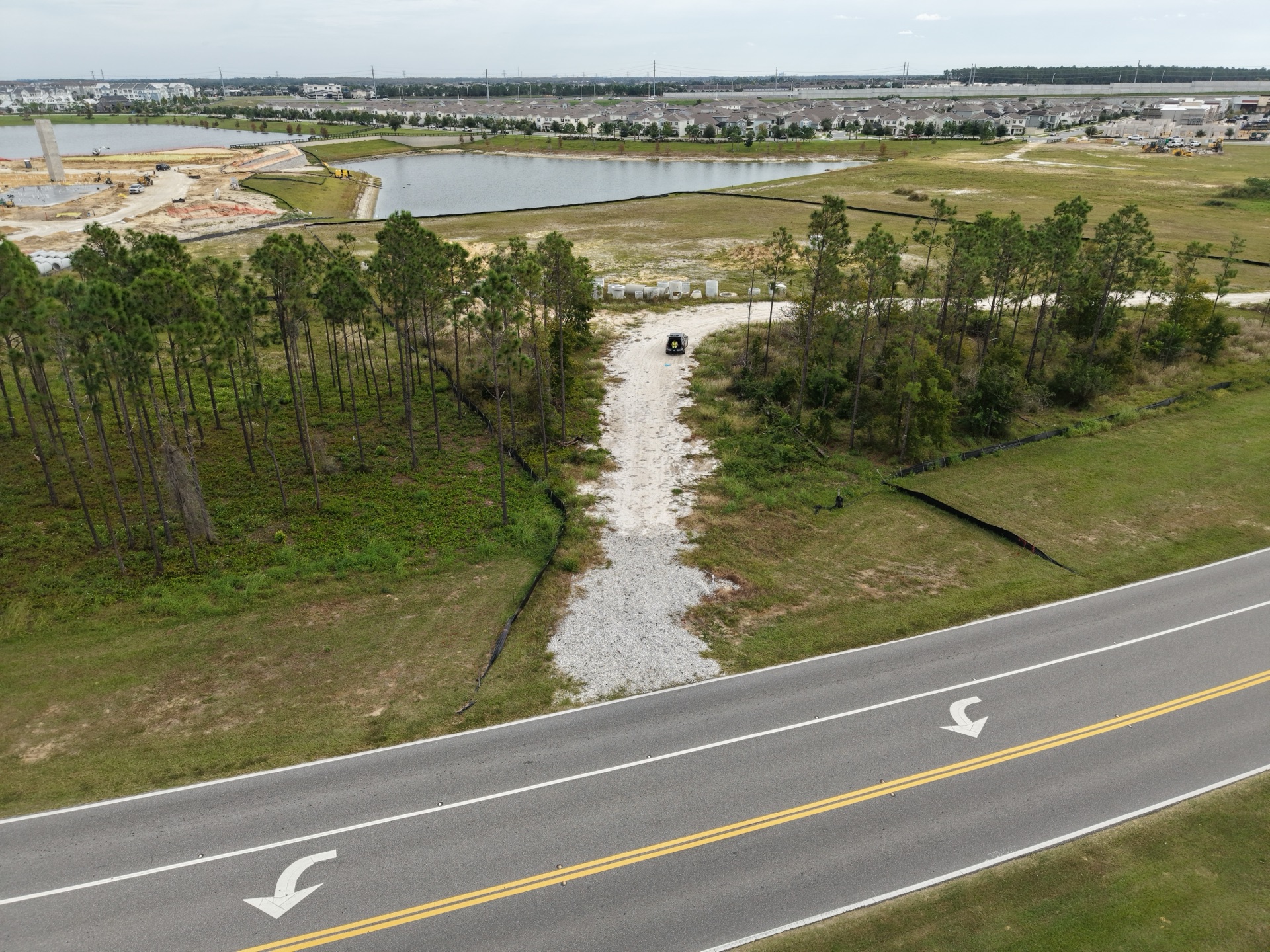
A 5-acre park site and its surrounding sidewalks, mapped next to a K-12 school.

View map

Orlando, FL · 3,566 SF

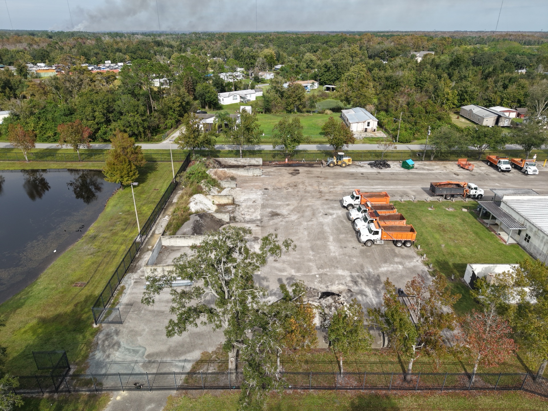
Bithlo HWY Maintenance Building

A working maintenance yard mapped ahead of renovation.

View map

St. Cloud, FL · 17,100 SF

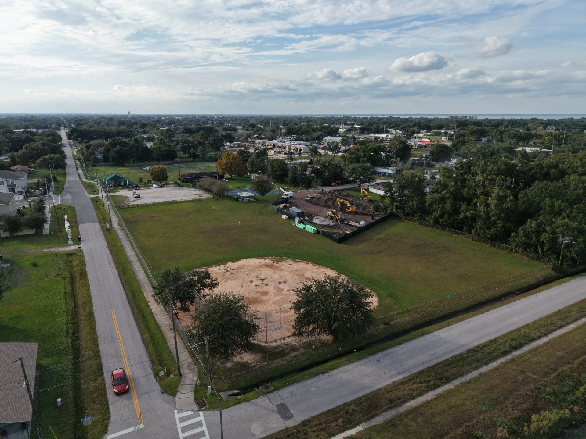
Hopkins Park

An existing park mapped before a new community center goes in.

View map

Have a project coming out of the ground?

Request a quote

Before you ask

Common questions

How often do you fly a site?

As often as the project needs. Some jobs want a flight at each milestone, others weekly or monthly. We set the schedule with you before the first flight.

What do I receive after a flight?

Professionally edited photos and video within 48 hours of the flight, in formats ready for internal reports, stakeholder updates or marketing. Site mapping jobs also include a 2D orthomosaic map, delivered within 48 hours unless it needs extra editing or data layers.

Are you licensed and insured?

Yes. We carry $1,000,000 per occurrence in aviation liability insurance, covering bodily injury and property damage, and can send a certificate of insurance on request. Every flight is flown on site by an FAA Part 107 licensed drone operator, with the planning and coordination needed for safe, compliant operations.

Where do you work?

We are based in Saint Petersburg and fly projects anywhere in Florida. Recent jobs include Kissimmee, Orlando, Ocoee, Winter Garden, Clermont, St. Cloud and Wildwood. Travel beyond 25 miles of Saint Petersburg is charged by the mile.

How is pricing set?

Flights start at $350, which covers one flight, 15 to 20 edited photos and a 30-second video for social media or your website. Everything beyond that is a custom quote based on location, scope, how often we fly and what you need delivered. Request a quote and we reply within 24 hours.

Contact

Get a quote

Tell us about the project and what you need to see. Flights start at $350, and we reply within 24 hours.