Preconstruction site mapping
Waterleigh Park
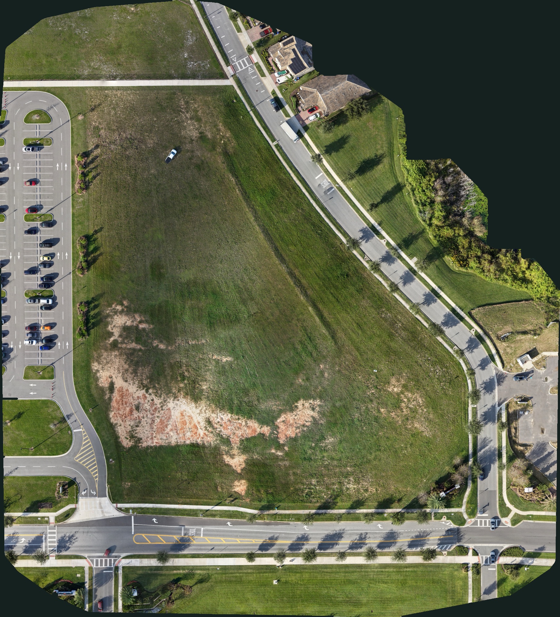
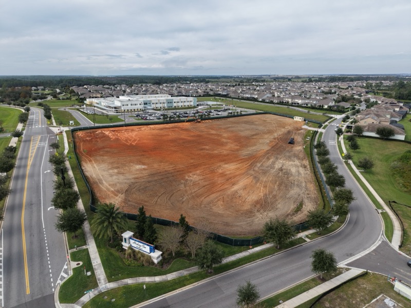
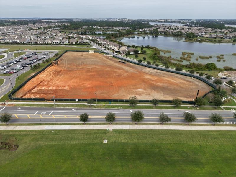
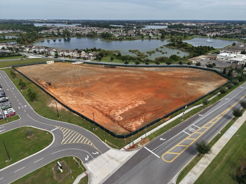
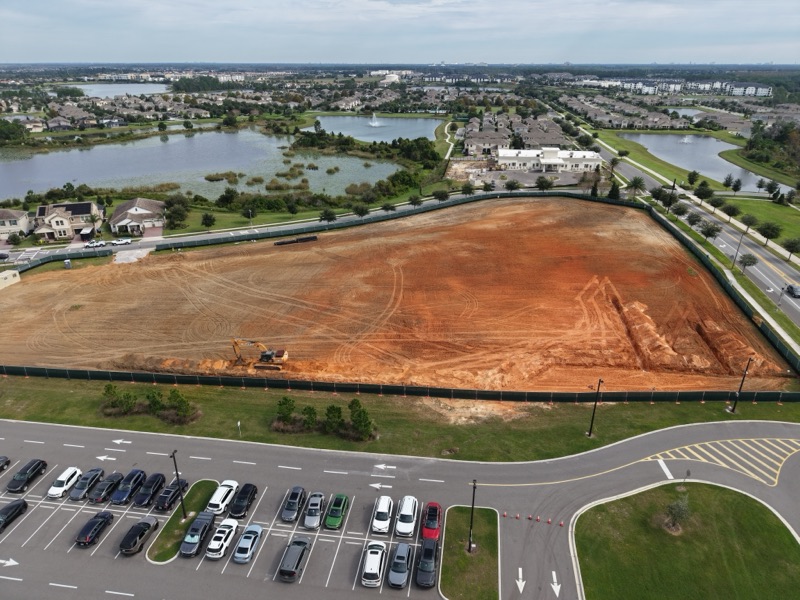
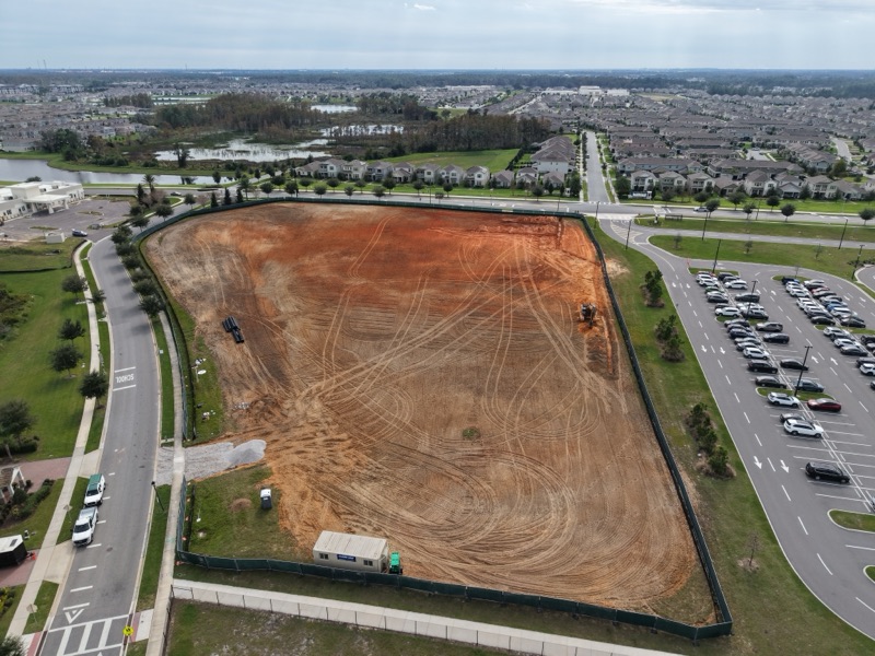
A preconstruction orthomosaic map and aerial photos of a 5-acre community park site, flown next to a K-12 school.
- Location
- Winter Garden, Florida
- Project
- Community park, new build
- Size
- 5 acres
- Service
- Orthomosaic site mapping
- Flown
- November 2026
- Visits
- 1, at a milestone
- Status
- In progress
- Delivered
- Orthomosaic map and aerial photos
- Site notes
- Next to a K-12 school
- Used for
- A record of the land and the surrounding sidewalks
The map records the condition of the land, and of the sidewalks and roads around it, before work began, so there is a clear reference if questions come up later. The site borders a K-12 school, so the flight was planned to stay inside the project boundary, clear of the school grounds and with no flight over people, in line with FAA Part 107 rules.
From the flight
5 photos · select one to enlarge
Want this for your project?
Request a quote